What can the application do?
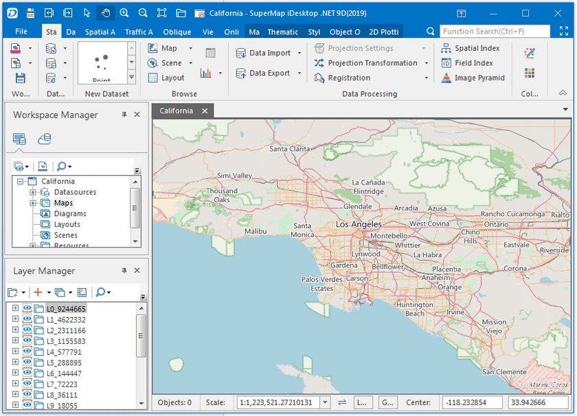
Abundant features are provided in that can meet users’ regular needs like processing GIS data, analyzing data, mapping and project applications and so on. In the meanwhile, plugin extension and secondary development are supported for users to develop new features in demand. With you can:
- Produce and print maps
- Edit and process GIS data
- City planning
- Digital city 3D modeling
- Manage public facilities
- Manage GIS information
- National defense, military application
- Emergency and disaster response
- Manage underground pipelines
We provide two cases of ** here:**
- Geographical conditions census pre-processing software
Secondary development provided by can make people develop features and plugins in demand like the Geographical conditions census pre-processing software (gcStation). gcStation was developed based on and achieved digitization of image data in sheet to process and integrate data more easily. The plugin uses different symbols to express different each elements, and provides a variety of features to draw elements automatically. The element objects and their attributes can be modified and the result data can be output by sheet.
- City three dimensional modeling
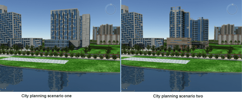
provides rich 3D rendering and operations for managing city 3D information. For example, the Guilin 3D tourist city system combines 3D functions provided by and then develop corresponding features including project constructions and contrastive analysis to achieve quick modeling of 3D city and texturing- rendering thereby visualize distributions of underground pipelines and search, count pipelines. And with the comparison feature, contrast display effects of each scheme in the 3D scenes, and in the meanwhile add some particles like water, fireworks and enable the features of sunshine and shadow.
- Mapping
Abundant map-drawing and map-rendering features are provided by like various thematic maps. Combining features like editing data and processing data you can optimize the map display effect. You can produce municipal administration maps, land use maps, city planning maps, charts on population or economy, tourist site map and so on.

