Data descriptions:
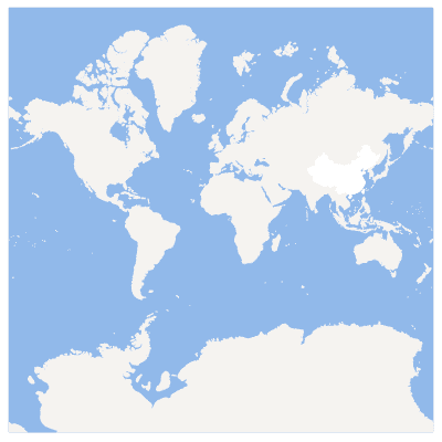
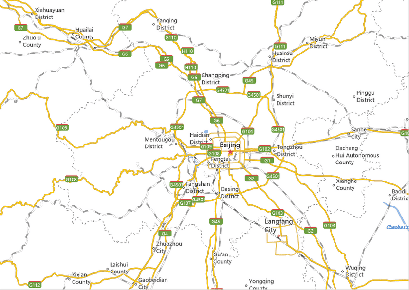
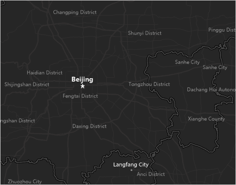
China map is a digital map which is made through using the data on 1:1000000 scale. It includes administrative divisions, roads at all levels, railway, main rivers and some POI point. The features of this map basically covers all features for making a digital map. It has three styles: Ordinary digital map, bright style and dark style.
Data introduction:
All data are from the data of public version 1:1000000 produced by national administration of surveying, mapping and geoinformation.
The data in the datasource is described in detail below.
| Dataset name | Dataset types | Data classification | Detailed descriptions |
|---|---|---|---|
| NationAssistA_P | Point dataset | Auxiliary point feature | The auxiliary points of international marks |
| NationAssistB_P | The auxiliary points of international marks | ||
| RiverAssist_P | The auxiliary points of river marks | ||
| Capital_P | Administrative point | Capital | |
| ProvinceCapital_P | Provincial capital | ||
| CityA_P | Municipal Administrative District (City) | ||
| CityB_P | Municipal Administrative District (Autonomous Prefecture, league, etc) | ||
| County_P | County level administrative district | ||
| Town_P | Township level administrative district | ||
| Airport_P | Other point feature | Airport | |
| Sea_P | Ocean | ||
| Island_P | Island | ||
| BorderA_L | Line Dataset | Administrative line | Border |
| BorderB_L | Border (including jump-drawing) | ||
| BorderC_L | Border (including jump-drawing) | ||
| Coastline_L | Coast line | ||
| Province_L | Provincial boundaries | ||
| StateRoad_L | Traffic line | National highway (including expressway) | |
| ProvinceRoad_L | Provincial road | ||
| OtherRoad_L | Expressways and main roads | ||
| CountyRoad_L | County road | ||
| Railway_L | Railway (including single track railway and double track railway ) | ||
| MainRiver_L | River system | Main river | |
| GangAo_L | Other line features | The index lines of Hongkong and Macao | |
| Country_R | Region Dataset | Administrative region | Countries in world |
| Province_R | Provincal region | ||
| MainRiver_R | River system | Main river | |
| River_R | River | ||
| Lake_R | Main lake | ||
| XingKaiHu_R | Xingkaihu | ||
| WorldElements_R | Auxiliary elements | Background of world | |
| IslandElements_R | Island auxiliary elements | ||
| Island_R | Other region elements | Island | |
| OceanName | Text dataset | Map mark | Ocean mark |
| ContinentName | Continental mark | ||
| SeaName | Marks on the surrounding waters of China | ||
| ProvinceNameA | Province name | ||
| ProvinceNameB | Province name | ||
| XingKaiHuA | Xingkaihu mark | ||
| XingKaiHuB | Xingkaihu mark | ||
| XingKaiHuC | Xingkaihu mark |
Maps procedure
- Set scales
Using the tile pyramid grading rules in the “specification”, the data is relatively straightforward, so the front 13 scale is shown here. The scale can also be set according to the specific situation, the general principle is: the smallest scale to display the full map, the largest scale region content is more abundant. The increments from small scale to the large scale is 2 times. The function to set the display scale is “Range” > “Fixed Scale” in the “Map” tab.
| No. | Scale |
|---|---|
| 1 | 1:591658710.91 |
| 2 | 1:295829355.45 |
| 3 | 1:147914677.73 |
| 4 | 1:73957338.86 |
| 5 | 1:36978669.43 |
| 6 | 1:18489334.72 |
| 7 | 1:9244667.36 |
| 8 | 1:4622333.68 |
| 9 | 1:2311166.84 |
| 10 | 1:1155583.42 |
| 11 | 1:577791.71 |
| 12 | 1:288895.85 |
| 13 | 1:144447.93 |
- Adds region elements
The administrative divisions region is one of the necessary elements for a digital map. In order to highlight the road, rivers and POI points, etc., generally setting them to white, superimposed on the blue waters above, and the color for rivers, lakes and other water system is consistent with the color of sea.
- Adds road elements
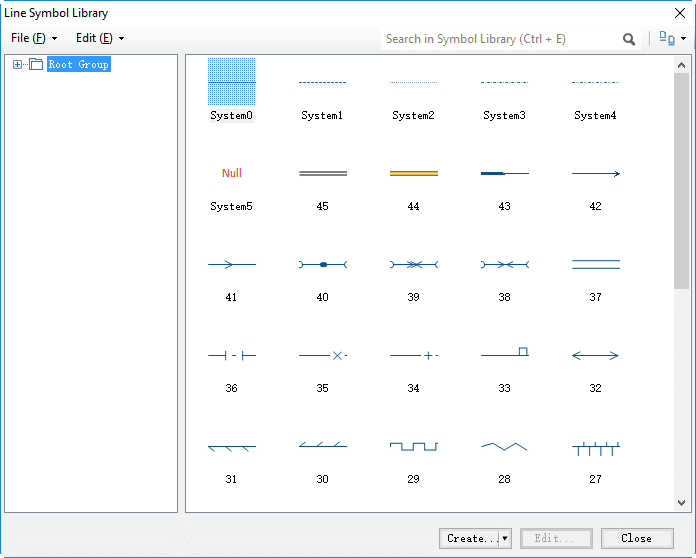
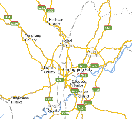
(1)Adding roads. The roads with different levels need use different symbols to distinguish. It is consistent with actual situation that the roads with high level use wider linear symbols with thicker colors and the roads with low level use finer line symbols with lighter colors. You can click Resources > Line Symbol Library to select the road line symbols provided by system, you can also create it.
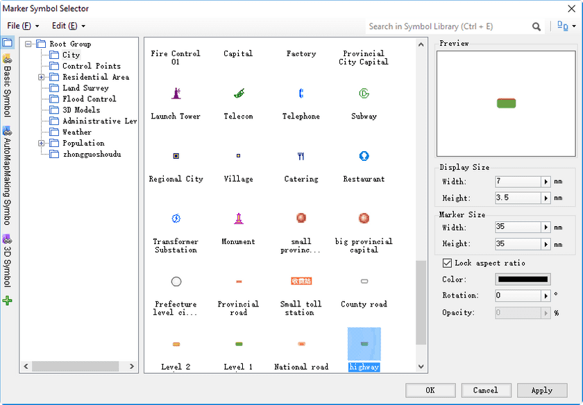
(2)Creating road mark. The name of the road could be marked with a common label map. The number of some roads such as highways, provincial roads, etc need to be marked out. You can click “Background Settings”in the “Thematic map” tab, and then select marker symbol as the background shape of label to set the background for the number mark of highway.
- Adds POI points
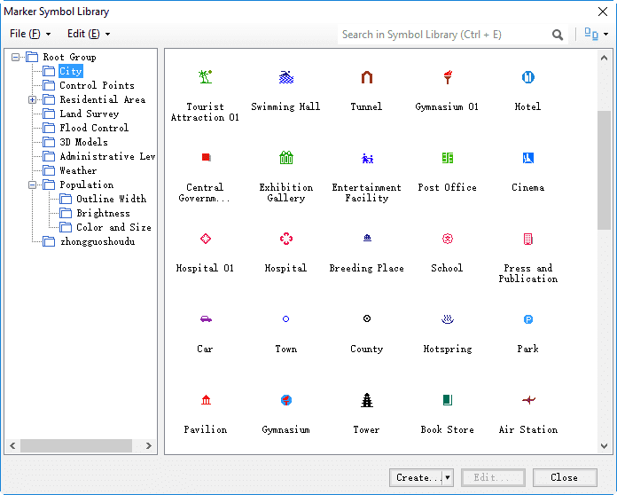
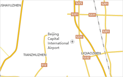
(1) Adding POI point. You can click Resources > Marker Symbol Library to select the markers provided by system. The POI points in the image mainly represents the airports in each provincial capital as a example for adding POI point to a digital map.
(2)Creating notes for POI point.
- Adds administrative points
(1)Adding administrative point. Adding the administrative points for capital, provincial capital, city, county, town and village. You can select the symbol provided in “Marker Symbol Library”.
(2)Creating notes for POI point.
Map display
Other style
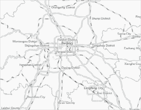
The different maps with different styles may be required in different application scenarios, so the digital maps with two different style: light style and dark style are provided except for common digital map.
|
|
|---|
