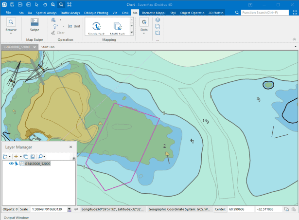
Complete GIS Functions
Rich GIS functions such as data management of different formats, vector and raster data processing, map and nautical chart editing, spatial analysis, 2D and 3D mapping, data sharing on the cloud, extension development, etc. are provided to satisfy needs of different groups of users.
2D and 3D Integration
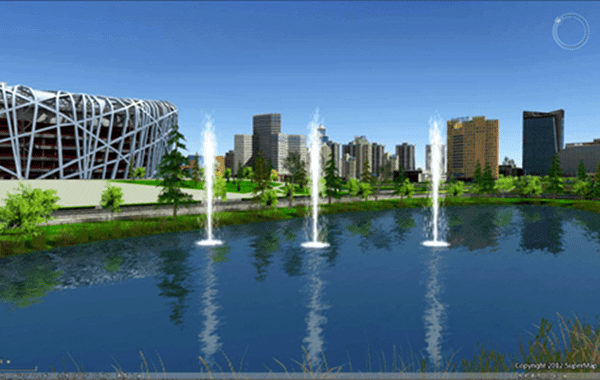
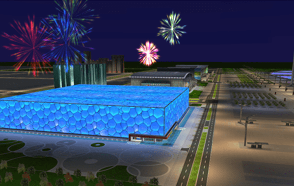
2D and 3D integration includes data, display, query, analysis integration. The integration can help users realize applying 2D data in 3D scene. Users are allowed to create thematic maps, perform fast modeling, perform attribute query, etc. for 2D data in the scene. Meanwhile, browsing, editing, analysis, etc. for 3D data are also allowed.
|
|
|---|
Easy-to-use Functions
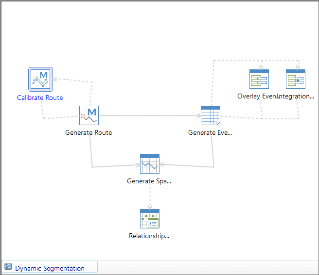
Ribbon interface style has been employed to group functions of different classes on the tab for the convenience of users. Meanwhile, workflow for hydrology analysis and dynamic segmentation analysis have been provided to save learning cost for users and reduce error rate caused by incorrect workflow.

|
|
|---|---|
| Ribbon style interface | Operation workflow |
Extension Development
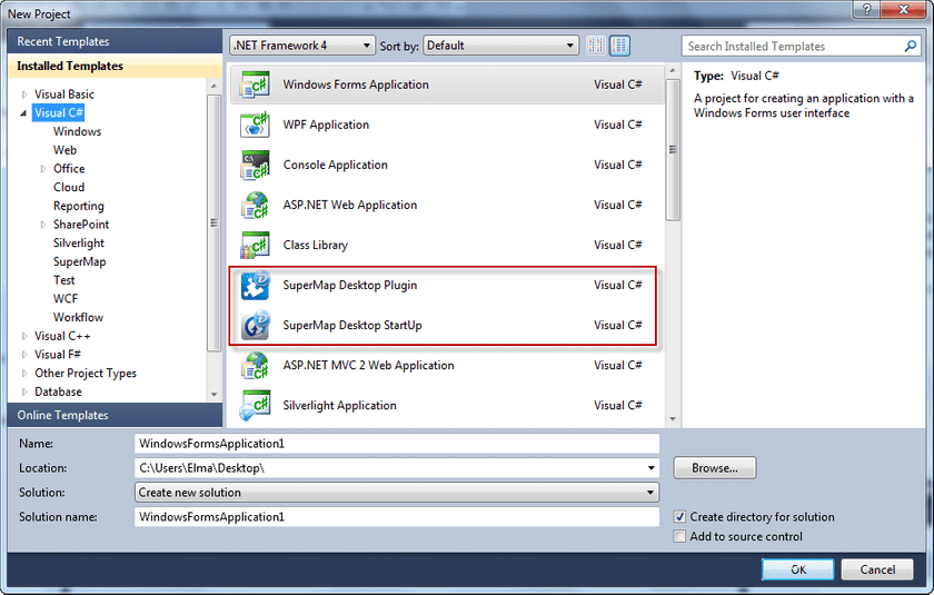
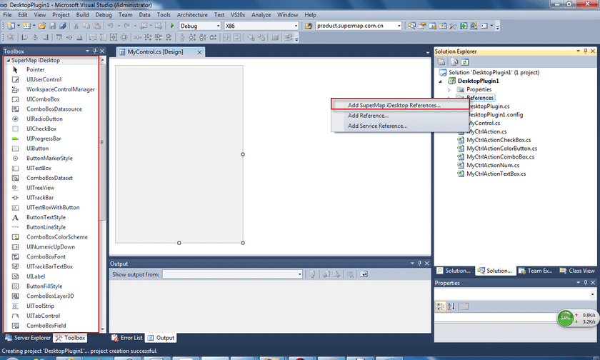
VS project templates and sample programs have been provided to allow users to get started with extension development quickly. Meanwhile, toolbox and quick reference have been integrated into IDE to allows users to develop new plugins, therefore satisfying the customization needs of users.
|
|
|---|
Cloud Sharing
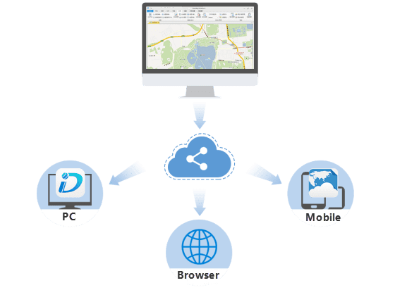
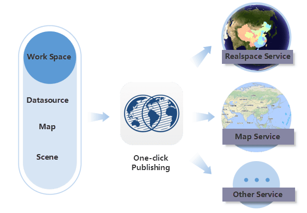
iServer service publishing functions are provided. Users can publish local or remote iServer services into different types of services, including REST services, OCG services, etc.
|
|
|---|
Nautical Chart Modification
supports nautical chart storage, display and editing. IHO S-57, IHO S-52 and IHO S-58 standards are supported. Moreover, nautical chart conversion, display, query, editing, data checking, etc. are provided. Users can modify based on an existing copy of nautical chart, or they can create a new copy of nautical chart. Meanwhile, nautical chart data and land data integration is supported to realize land and sea integration.
