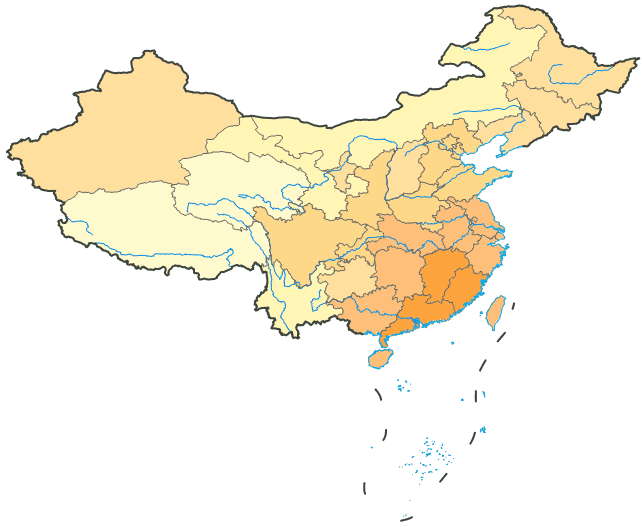
River systems are important geographic features. Since the purpose of drawing the map feature to express meteorological information, therefore, will symbolize the nation’s major rivers, the geographic base map elements as thematic layers in the lower display, can express a certain degree of hydrological information
Basic Steps:
- In the Layer Manager, double click the line icon next to the MainWater_L layer to display the Style Settings dialog box. Also, you can select the layer, right click to display the context menu, and click Styles Settings… to display the Styles Settings dialog box.
- Use the default line symbol. Set the line color, with R, G, and B respectively being 0, 133, and 232. Set the line width to 4 (Unit: 0.1 mm).
- When finished, drag the river layer to place it below the DistrictL layer and above the ProvincesR layer.