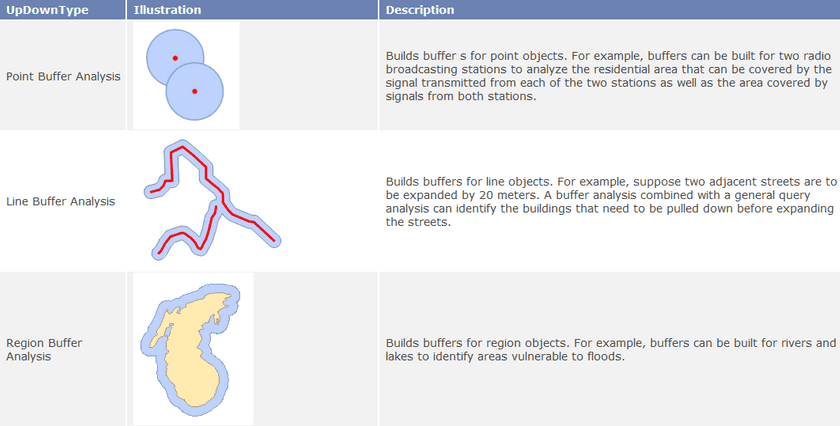
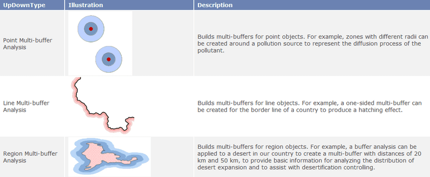
Buffer Analysis is a basic GIS spatial operation. It automatically builds zones with a certain width around point, line, or region geometric objects according to a specified buffer distance. For example, in an environmental protection project, a zone can be drawn to include areas within a certain distance of a polluted river to represent the contamination area; a zone with a certain size can be drawn around an airport to define a non-residential area for public health concerns.
The user can use the ” Buffer ” button or the ” Multi-buffer ” button in the application program to build buffer(s) with a specific buffer distance for one or more geometric objects.
Buffer Analysis can be applied to a point dataset, a line dataset, or a region dataset, to build buffers for all objects or selected objects in the dataset.

