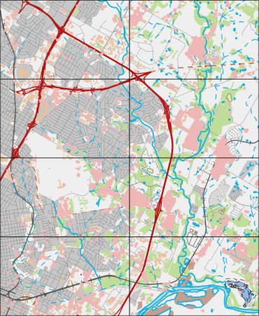
Map Series is a collection of map pages that generates a set of output pages by taking a single layout and traversing a set of Map Bounds. For example, creating a Map Series is a single map page that includes different parcels in an area.
Users can simultaneously output a series of complete sets of maps with unified layout, unified decoration and different display contents in the same region. Map Series has the advantages of fast mapping, high quality and unified style.
Generally, each page in a Map Series also includes other layout elements (such as a map title) that change to reflect the attributes of the area in the specific page. As shown below:
 |
| Map Series Diagram |
Extents are defined by features in a layer, and the layer on which they are defined is called an indexed layer. The index layer divides the map into sections based on the individual index objects in the layer, and then generates a corresponding page for each index object. A common index layer is a surface grid. For example, you can easily create a series of pages of equal size covering a town area based on the Regular Polygon grid layer as an index layer.
 |
| Map Series Based on Surface Grid Layer |
Create Grid Index feature helps you to create index layers. You can also use Calculate Adjacent Fields function to create fields in the index layer to label adjacent pages in Map Series.
Typically, each page in a complete Map Series contains a title, main map, locator map, text, table and other components. You can define layout elements for each Map Series page through a series of related functions in Map Series. Layout elements can be divided into dynamic elements and static elements. Dynamic elements will change with the content of each page, such as page titles and page numbers created as Dynamic Text. The locator map is added to enable users to quickly locate and identify the spatial position of the current map within a larger area. The locator map is also dynamic and automatically updates when the associated main Map Bounds change.
Static elements remain unchanged, and any modifications to static elements in the layout will be reflected across all Map Series pages, such as layout size, map frame size, map scale, and north arrow.
It also supports unified printing or exporting of generated Map Series pages in map book format. The above example shows an atlas of forest land distribution in XX District. This series of map books can be easily created using features including Create Grid Index, Calculate Adjacent Fields, Enable Map Series, Draw Locator Map, Create Eight-Direction Text, etc.
Related Topics


