Calculate Adjacent Fields
Feature Description
Creates fields and calculates values of adjacent faces for mesh objects.
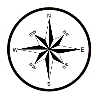
This feature appends eight new fields to the region dataset, each representing compass directions: North, Northeast, East, Southeast, South, Southwest, West, and Northwest. For each face object, it calculates values identifying adjacent neighbors in these primary directions.
 |
| Schematic diagram of eight directions |
Application Scenario
Commonly used to populate callout fields on adjacent pages in a map book.
Feature Entry
- Entry 1: In Map: Map tab-> Drawing-> Calculate Adjacent Fields.
- Entry 2: In Layout: Object Operation tab-> Map Series-> Calculate Adjacent Fields.
Parameter Description
- Datasource/Dataset: Select input data: specify the dataset and its containing datasource. Adjacent field results will append to corresponding mesh index objects.
- Field Name: Select field values to populate adjacent field data.
- Result: Upon successful execution, eight new fields generate in dataset properties. Field names combine original values with directional abbreviations. Example: For "GridTitle" field, new fields become GridTitle_N, GridTitle_NE, GridTitle_E, GridTitle_SE, GridTitle_S, GridTitle_SW, GridTitle_W, GridTitle_NW.
Application Example
Using grid index dataset with "PageName" field as input generates new fields: PageName_N, PageName_NE, PageName_E, PageName_SE, PageName_S, PageName_SW, PageName_W, PageName_NW.
Take B1 grid as example: adjacent pages are A1 (North), A2 (Northeast), B2 (East), C2 (Southeast), C1 (South).
 |
 |
| Figure 1: Input Grid Index Dataset | Figure 2: Calculate Adjacent Fields Result |
Related Topics


