


Feature Description
The Projection Settings dialog is used to configure projected coordinate system information for selected datasources, datasets, or current map in the workspace.
Feature Entry
- Start tab -> Data Processing group -> Projection Settings.
- Dataset context menu in Workspace Manager -> Properties -> Reset Coordinate System... under Coordinate System option.
- Map context menu -> Properties -> Reset Coordinate System... button under Coordinate System option in Layer Properties panel.
Steps
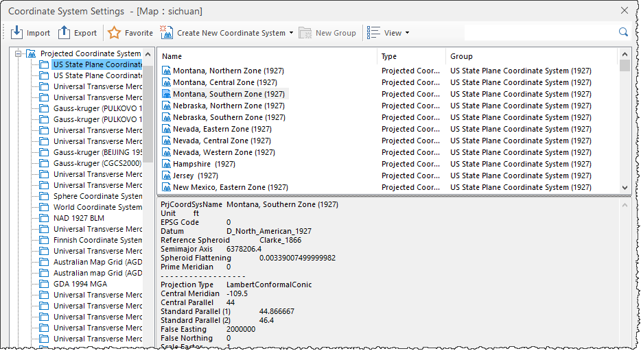
The system provides extensive predefined projection types including user-customizable options. Users can select a projected coordinate system from the Coordinate System Settings dialog, or define custom projections for selected datasources, datasets, or current map.
- Click Start tab -> Data Processing group -> Projection Settings to open the Coordinate System Settings dialog.
- Expand the Projected Coordinate System node in the left tree directory. Predefined coordinate systems will be listed in the right panel. Select desired projected coordinate system. Use the Search box in toolbar to locate systems by partial/full name.
- If predefined systems are insufficient, users may create custom projected coordinate systems. Refer to New Projected Coordinate System.
- After selecting appropriate projection file, click Apply to implement the projected coordinate system on selected datasources, datasets, or map.
SuperMap iDesktopX 11.3.0 introduced IGAC Plano Cartesiano projected coordinate systems. When opening data/maps using these systems in versions below 11.3.0, the coordinate system will display as planar coordinate system and cannot perform projection correctly. Coordinate information may be lost when saving maps or exporting map templates.
Related Topics
New Geographic Coordinate System
New Projected Coordinate System
Create Coordinate System via EPSG Encoding
Setting Planar Coordinate System
Setting Geographic Coordinate System