


Set Planar Coordinate System
Feature Description
The Coordinate System Settings dialog is used to configure planar coordinate system information for selected data sources, datasets, or the current map in the current workspace.
Steps
- Click the Projection Settings button in the Start tab -> Data Processing group to open the Coordinate System Settings window.
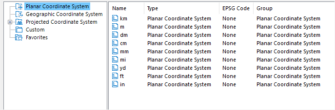
- In the left panel, select Planar Coordinate System as the coordinate system type, as shown below:
- In the right panel, you can modify units for the planar coordinate system, or create new coordinate information for selected data sources/datasets. For detailed configuration methods, refer to Projection Settings.
- After selecting a planar coordinate system, click Apply to implement the selected planar coordinate system for currently selected data sources, datasets, or maps.
Related Topics
Create a Geographic Coordinate System
Create a Projected Coordinate System
Create Coordinate System by EPSG Encoding
Set Projected Coordinate System
Set Geographic Coordinate System