


Feature Description
The Coordinate System Settings dialog is used to set geographic coordinate system information for the selected datasource, dataset, or current map in the current workspace.
Steps
The system provides over 200 types of geographic coordinate systems including user-definable options. Users can select a predefined geographic coordinate system or customize one through the Coordinate System Settings dialog, then apply it to the currently selected datasource, dataset, or map.
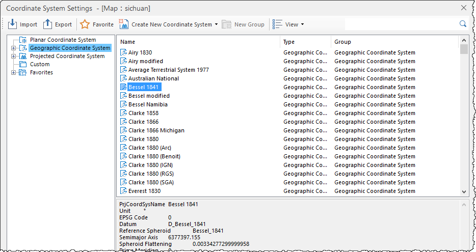 |
- Click the Start tab -> Data Processing group -> Projection Settings button to open the Coordinate System Settings window.
- Select the Geographic Coordinate System node in the left directory tree. The right panel will list all predefined coordinate systems. Use the Search box in the toolbar to quickly locate coordinate system files by entering full or partial names.
- If predefined systems don't meet requirements, users can create custom geographic coordinate systems. See Create a New Geographic Coordinate System.
- After selecting the desired geographic coordinate system file, click Apply to implement it for the current datasource, dataset, or map.
SuperMap iDesktopX 11.3.0 introduced IMAGNA-SIRGAS and MAGNA-SIRGAS 2018 geographic coordinate systems. When opening data/maps using these systems in versions below 11.3.0, the coordinate systems will display as planar coordinate systems and cannot perform proper projection operations. Coordinate system information will be lost when saving maps or exporting map templates.
Related Topics
Create a New Geographic Coordinate System
Create a New Projected Coordinate System
Create Coordinate System via EPSG Encoding
Set Projected Coordinate System