


The S-100 standard, formally known as the Universal Hydrographic Data Model, is a framework document developed by the International Hydrographic Organization (IHO). It provides a modern marine geographic spatial data standard aimed at establishing foundations for hydrographic surveying, maritime operations, and GIS digital products and services, while lowering the threshold for utilizing hydrographic data and technologies across different professional fields.
- Product standard system developed based on S-100: The IHO assigns S-1XX numbering to products developed under the S-100 standard. Number ranges S-101 to S-199 are reserved for IHO-developed products, while higher numbers are allocated to other organizations. Below are partial numbering ranges of the S-100 product specification system:
- International Hydrographic Organization (IHO) (S-101 to S-199)
- International Association of Marine Aids to Navigation and Lighthouse Authorities (IALA) (S-201 to S-299)
- Intergovernmental Oceanographic Commission (IOC) (S-301 to S-399)
- Inland Electronic Chart Harmonization Group (IEHG) (S-401 to S-402)
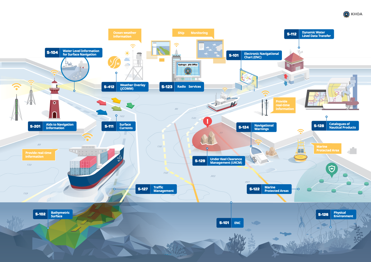 |
| Figure: Product standard system developed based on the S-100 standard (Source: International Hydrographic Organization, IHO) |
In the S-100 product standard system shown above, key standards include S-101 providing electronic chart basemaps, S-102 regulating seabed bathymetric elevation data, and S-104 focusing on tidal information for navigational water levels.
Through these numbering ranges, the S-100 series provides a unified product development framework for multiple organizations, ensuring interoperability and standardization of data products.
- Relationship between the S-100 product standard system and S-57 series specifications: The S-100 product standard system is often regarded as the replacement, update, and upgrade of the S-57 series specifications:
- The S-57 series typically refers to product specifications including S-57 (data), S-52 (display), S-58 (validation), and S-63 (encryption). Originating in the 1980s, the S-57 series has gradually become inadequate for modern electronic chart product requirements after 40 years of technological evolution.
- In 2001, the IHO initiated the S-100 development plan as a comprehensive update to the S-57 series. By retaining core elements of S-57 specifications and introducing new data structures, enhanced data sharing and display methods, the S-100 series facilitates better integration of hydrographic data and applications into geospatial solutions.
- Compared with S-57, the S-100 series offers more flexible maintenance mechanisms, better alignment with future data requirements, improved data model scalability, and greater openness of standards.
- As the foundational specification for electronic charts, the S-101 electronic chart stored in *.000 format serves as the replacement for S-57 (Digital Hydrographic Data Transfer Standard).
SuperMap iDesktopX supports data from five product specifications (S-101, S-102, S-104, S-127, S-131) and displays them according to respective specifications.
This chapter covers the following topics:
- S-101 electronic chart: Explains S-101 data import, display, and feature property queries.
- S-102 bathymetric surface: Describes S-102 data import and bathymetric queries.
- S-104 navigational water levels: Details S-104 data import and pick report data queries.
- S-127 maritime traffic management: Covers S-127 data import, feature property queries, and related information queries for feature objects.
- S-131 port infrastructure: Introduces S-131 data import, feature property queries, and related information queries for feature objects.
- Multi-standard integrated display: Explains S-98 interoperability settings and dynamic water level playback configurations.