


S-131 Marine Harbour Infrastructure
S-131 is the product specification for Marine Harbour Infrastructure established by the International Hydrographic Organization (IHO). Its purpose is to provide a standardized dataset describing the layout of harbors and the availability of port services, such as berth positions, harbor area boundaries, available services, and instructions for accessing or utilizing these services.
- Relationship with S-101: S-131 datasets can serve as additional layers in Electronic Chart Display and Information Systems (ECDIS), supplementing port information in S-101 Electronic Navigational Charts (ENC).
- While basic data like berths are already included in the S-101 standard, S-131 is specifically designed to provide more detailed information related to harbor infrastructure, such as the location of service facilities and feature descriptions, which are crucial for daily port operations and navigational safety.
- S-131 datasets are typically updated more frequently to reflect the latest port service conditions, whereas S-101 primarily provides fundamental geographic information with lower update frequency. Utilizing S-131 data helps mariners obtain more accurate and timely port information, enhancing navigational safety and efficiency.
In practical applications, S-131 data assists mariners in quickly locating port service facilities, ensuring effective utilization of these resources when entering or departing harbors.
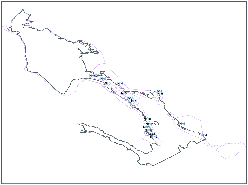 |
| S-131 Marine Harbour Infrastructure Diagram |
SuperMap iDesktopX supports the import and display of S-131 data. In this section, you will learn about:
- Import S-131 Data: Explains how to import *.gml files compliant with the S-131 electronic chart standard.
- View S-131 Group Attributes: Describes how to query group attributes and statistics information for S-131 data.
- View S-131 Object Properties: Illustrates how to inspect attributes, reference objects, and nodes of S-131 feature objects.