


Feature Description
In , data coordinate systems are categorized into three types: planar coordinate system, geographic coordinate system, and projected coordinate system. Users can set different types of coordinate systems based on the requirements of datasources or datasets.
The "Projection Settings" drop-down button in the "Data Processing" group under the "Start" tab is used to configure and manage coordinate projections for datasources or datasets in the current workspace.
The "Projection Settings" drop-down button becomes available only when users select one or multiple datasource nodes in Workspace Manager, or select one or multiple dataset nodes within the same datasource. Clicking this drop-down button reveals a menu containing "Common Projections" and "Projection Settings" items. Common Projections displays projection files in favorites. (For favorite-related operations, see Projection Settings - Favorites.) If no projection files exist in favorites, the "Common Projections" item shows no content. Clicking "Projection Settings" opens the "Projection Settings" window where users can configure projections for selected datasources or datasets.
Steps
In the current workspace, select datasource or dataset nodes in Workspace Manager, then click the "Projection Settings" drop-down button and choose "Projection Settings" from the menu. This will open the "Coordinate System Settings" dialog. The dialog content varies depending on whether the current coordinate system is planar coordinate system, geographic coordinate system, or projected coordinate system. When multiple datasource nodes or multiple dataset nodes within the same datasource are selected, the "Projection Settings" dialog displays and configures projections for the last selected datasource or dataset.
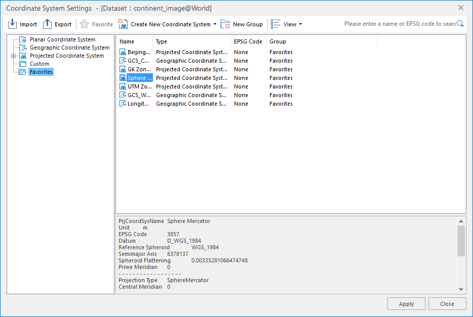 |
| Coordinate System Settings Window |
Notes
Use shortcut keys Ctrl+F/Ctrl+F3 to locate the mouse cursor to the search box.