It can realize drawing common markers, police markers or general markers like polyline, circle, etc.
Introduction
2D plotting only supports adding plotting and elements on CAD layer which should use WGS_1984 projection.
Basic Steps
The 2D plotting panel provides drawing and displaying the point/line/region markers. The operation steps are:
- Add the CAD dataset to the map, set it editable.
- Click 2D Plotting>Plotting Panel, click Plotting Panel, it will open a dialog, There are two tabs Symbol and Parcel. The Symbol tab stores the predefined various markers, the Parcel tab stores common graph objects such as polyline, parallelogram, circle, ellipse, etc.
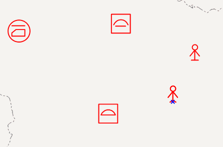
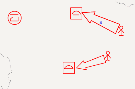
- Draw the marker in the map. It provides two kinds of markers in the panel, one is the point marker such as large square, house number, personnel, etc, the other one is line/region markers such as parallel arrow, multiple arrows. Select a marker in the panel, then click in specified position in the map, and the marker will be drawn as follows.
It’s noted that when drawing line/region markers, it needs clicking in multiple positions to complete a maker. There are two ways to complete the marker, one is that when the drawing points number is equal to the maximum number of the marker type, it will complete automatically; the other one is that right click to finish the drawing.

