


Grid Graudated Color Map
When the current layer is a raster layer, click the Thematic Map tab and select the Grid Graudated Color Map button to generate a default-styled grid graudated color map. Users can also customize grid graudated color maps through the Styles window of the grid graudated color map.
Graudated color thematic maps can be created based on any raster layer. To create a grid graudated color map, first set the target raster layer as the current layer. The following example shows a grid graudated color map created using Australia's land use raster layer.
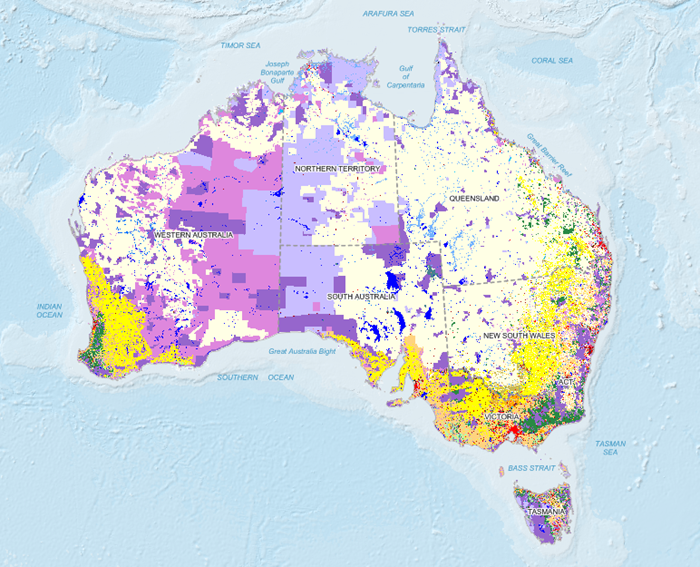 |
| Figure: Application of Grid Graudated Color Map |
Two Methods to Create Grid Graudated Color Maps:
 Create Grid Graudated Color Thematic Map
Modify Grid Graudated Color Map