Feature Description
Drawing objects on nautical charts aims to accurately identify and record important geographical features or navigational aids, enhancing chart practicality and precision. This operation is typically required when creating or updating charts, especially in the following scenarios:
- New geographical features or facilities: When new facilities like anchorages, buoys, or beacons need marking in maritime areas.
- Revise existing object information: When modifying object positions, attributes, or appearances requires redrawing or editing.
SuperMap iDesktopX provides S-52 electronic chart display styles compliant with IHO S-52 specifications, defining content, display, data structure, and symbology. This improves navigational safety and efficiency.
Use the Draw Objects function for template-based drawing, or Feature Drawing for freeform creation. Adding features to chart layers resembles normal layer operations, but each feature type can only be edited in its corresponding feature dataset. If required datasets are missing in the chart group, create or append them first.
Steps
Template-based Object Drawing
The draw objects function provides predefined templates compliant with data structures and display standards. In chart symbology mode, you'll see symbolized objects; in NONE mode, objects appear as basic geometries. Switch to chart symbology mode to view symbolic displays.
Take point-type anchorage objects as an example:
- Data preparation:
- Open workspace Chart.swmu under SampleData\ApplicationMap\Chart in SuperMap sample data.
- Convert the non-editable group GB4X0000_52000 in Chart datasource to editable group GB4X0000.
- Double-click to load editable chart group GB4X0000 into the map. Set display type to Standard and Chart Symbology.
- Map drawing:
- Enter drawing mode: Features Tab -> Feature Drawing group -> Click Draw Objects to open the panel.
- Select object type: Suffixes indicate types (_P=point, _A=area, _L=line). Switch display styles via toolbar icons or search using Pinyin, abbreviations, or Chinese names.
- Draw objects: Select Anchorage_P type and draw directly. Hover and press Tab to activate XY coordinate input. Objects are automatically stored in corresponding feature datasets. Missing datasets will be automatically generated.
- Modify attributes: Adjust attribute values in the properties panel post-drawing.
- Save: Confirm and save using Ctrl + S.
Non-template Object Drawing
For flexible drawing with reference materials (e.g., depth range area objects):
- Load editable chart group and reference map.
- Ensure Depth Range layer is selected in Layer Manager.
- Feature Editing Tab -> Feature Drawing group -> Click Polygon dropdown -> Select Arbitrary Polygon.
- Draw polygon while referencing base map. Press Tab for coordinate input. Right-click to close polygon.
- Set depth range values (DRVAL1 and DRVAL2) in attribute properties.
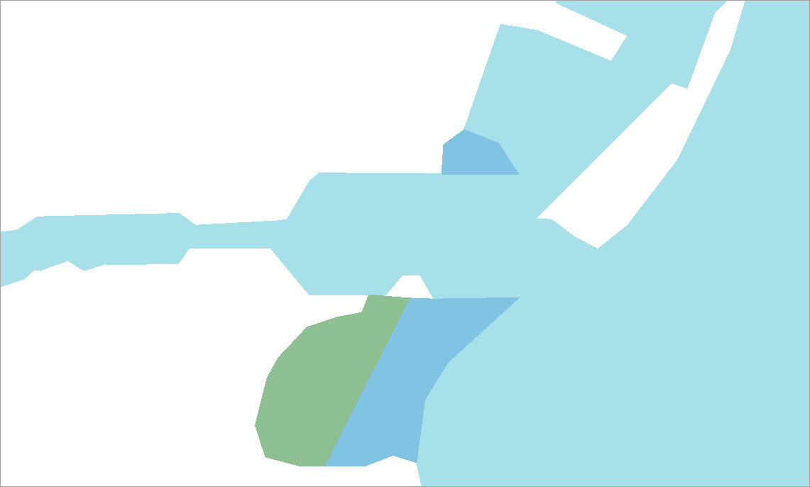
- Repeat for other areas. Different depth ranges show distinct styles:

Related Topics


