


Search Feature
Feature Description
The Search Feature function is used to quickly query feature objects in charts based on specific criteria. Through this function, users can efficiently locate target features for subsequent operations and analysis, such as editing, updating, or other management tasks.
- Application: Search Feature is an essential tool for improving chart data management efficiency, particularly suitable for scenarios requiring rapid localization of specific features. It enables precise queries based on feature attributes, such as locating fairways or lighthouses with particular characteristics, thereby facilitating data maintenance, analysis, and application.
- Supported query modes:
- Object Long Name: Search features by specified long name. Enter the name in the text box to display all matching features.
- Record ID: Locate features using their unique Record ID (RCID) in charts. Input the RCID to pinpoint specific features.
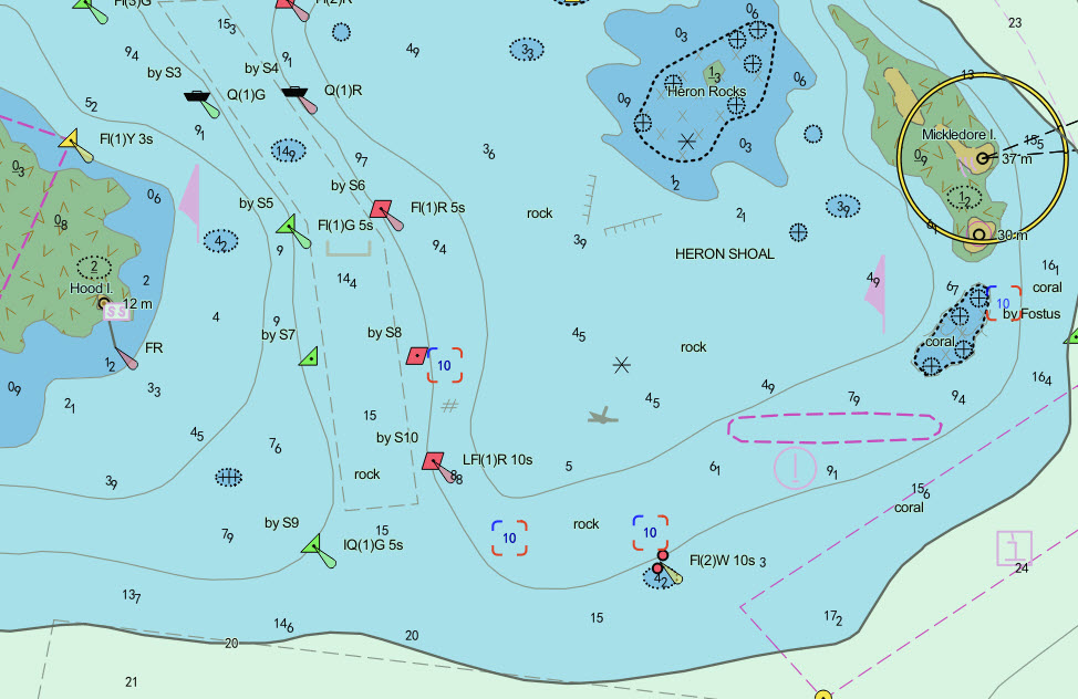
- Object Type: Query features by selecting an object type and setting attribute filters. Ideal for complex conditional searches, e.g., finding soundings with specific depth values.
Steps
- Add chart groups compliant with S-57 or CJ-57 standards to the map window. Navigate to Chart Tab -> Location Search group -> Click Search Feature button to open the dialog. For maps with multiple chart dataset groups, select the target group from the dropdown list on the right side of Chart Layer.
- Select Query Mode. Using Object Type as an example:
- Check Object Type and select a feature dataset type from the dropdown. If the dataset contains multiple vector types (point, line, polygon), select the required vector type(s).
- In the query list:
- Check desired property fields under Property Abbreviation column as query conditions
- Select operators from the Operator dropdown
- Enter specific values in Query Value (e.g., "10" for soundings equal to 10)
- Set logical relations (AND/OR) between multiple conditions in Relation column
- Click OK. Results will display at the bottom of the Search Feature window, showing Object Long Name, Record ID, Object Abbreviation, and Object Local Name. The map will automatically zoom to and highlight matching features. Clicking a result will center the map on its location. Example results for "sounding depth = 10":
Related Topics