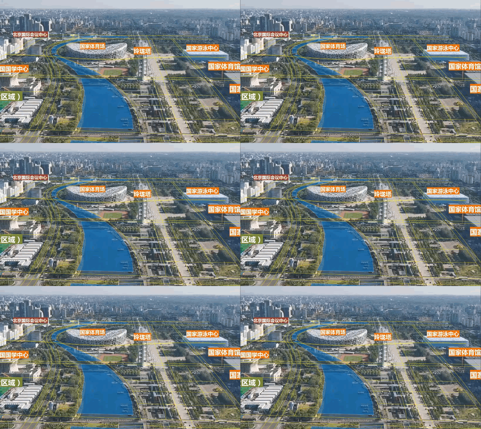
Video serves as one of the critical carriers for perceiving dynamic environmental changes. As a universal public media resource, video has evolved beyond mere visual content. With inherent spatial-temporal attributes, information richness, content diversity, and authentic representation, video has naturally become a form of geospatial data.
SuperMap iDesktopX integrates AI and computer vision technologies to provide comprehensive video management, video registration, video enhancement, and video analysis capabilities. This solution helps you efficiently manage massive video data, assign GCS to videos, and integrate videos with GIS, offering a more natural, authentic, and intuitive perspective for data observation. Equipped with multiple analytical models, it supports various video analyses to extract valuable information, playing vital roles in traffic monitoring, security, and public safety domains.

This chapter covers the following contents:
- Manage Videos: Explains how to manage video datasets, including creating, saving, compositing videos, and extracting data from videos.
- Video Enhancement: Introduces various video enhancement functions to improve video display effects.
- Video Registration: Describes video spatialization processes to assign GCS, including calibration registration and camera parameter registration.
- Video and Map Integration: Demonstrates how to integrate videos with GIS data, including object drawing and thematic map creation in video maps.
- Video Analysis: Details video analysis methods for extracting rich information, including environment configuration and functional specifications.


