


S-131 Port infrastructure
S-131 is a Marine Harbour Infrastructure product specification developed by the International Hydrographic Organization (IHO). The purpose of this specification is to provide a standardized Dataset describing the layout of the port and the availability of port services, such as the location of berths, the extent of the port area, the services provided, and instructions for contacting or using these services.
- Relationship to S-101: S-131's Dataset can be used as an additional layer in the Electronic Chart Display and Information System (ECDIS), complementing the information about ports in the S-101 Electronic Chart (ENC).
- Although basic data such as berths are already included in the S-101standard, the S-131 design goal is to focus on more detailed information related to port infrastructure, such as the location of service facilities and Instructions for use. This information is critical to the daily operation of the port and the safety of navigation. S-131 is
- usually updated more frequently to reflect the latest status of port services. S-101, on the other hand, mainly provides basic geographic information and has a low update frequency. The use of S-131 data can help navigators to obtain more accurate and timely port information and improve the safety and efficiency of navigation.
In practical applications, S-131 data can help navigators quickly find the location of port service facilities and ensure that these facilities can be effectively used when entering or leaving the port.
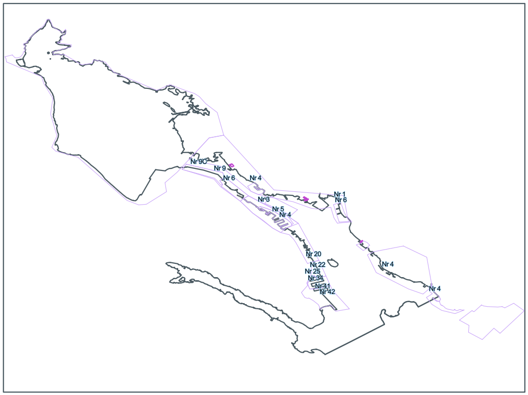 |
| S-131 Port Infrastructure Diagram |
SuperMap iMaritimeEditor supports the import and display of S-131 data. In this section, you will learn the following:
- Import S-131 Data : Describes how to import a *.gml file that follows the S-131 Electronic Chart data standard.
- Viewing S-131 Data Grouping Properties : describes how to query the Attributes and Statistic Infomation of S-131 data packets.
- View S-131 Element Object Properties : describes how to view the Attributes, Reference Objects, and Nodes of S-131 feature objects.