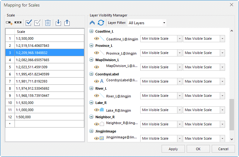
This function facilitates setting the layers that will be displayed at certain scale levels. You can check what layers are displayed at each scale. You can also set the Min and Max Visible Scale for each layer very conveniently.
Basic Steps
- Open the map that needs to be scaled.
- Click Maps tab > Mapping Gallery > Map Scales to open the dialog box.
- Click the Add button in the dialog box to add new scales. By default, a number of scales have already been added. You can modify any of them.
- On the right part, you can specify the minimum visible scale and the maximum visible scales for each layer.
- Click OK or Apply, then the layers in the current map window will be displayed by the specified scales. When the layer goes beyond the Min and Max Visible Scale, it will be invisible.
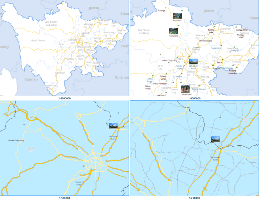
- The following shows the displayed map result at different scales:

