


Custom Thematic Map
The Custom Thematic Map is created through the customproperty field, which sets display styles by mapping numeric field values to a styles table, allowing more flexible representation of data information.
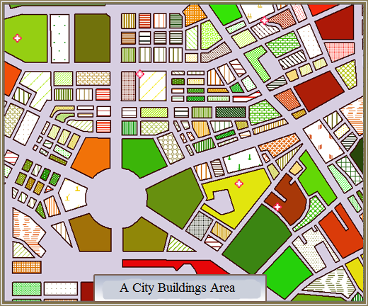
Supports editing functionality. Can be created based on any point, line, or polygon vector layer. To create, first set the target vector layer as current by selecting it in the Layer Manager.
Ideal for complex scenarios requiring rich content expression and multi-categorical attribute structures. The example below shows an urban night light brightness map, where county-level administrative points visualize both regional area (through marker size) and light intensity (through color).
 |
| Figure: Custom Thematic Map Expression – Urban Night Light Brightness Map |
Two Approaches to Create a Custom Thematic Map:
 Create New Custom Thematic Map
 Related Topics