


Import LIDAR Data
Feature Description
LIDAR refers to 2D or 3D points acquired through laser scanning, characterized by highly dense data points also known as point cloud data. LIDAR data typically contains X/Y coordinates, elevation values, and other spatial information. This feature enables importing *.txt format radar data as 2D or 3D datasets.
Feature Entry
- Start Tab->Data Processing->Data Import->Vector Group->LIDAR.
- In Workspace Manager: Select target Datasource->Right-click->Import Dataset....
- Toolbox->Data Import->LIDAR File->Import TXT.
Steps
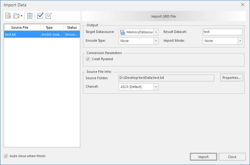
- In the Data Import dialog, click the Add File button on the toolbar to add *.txt format LIDAR files. For adding methods, refer to Import Data.
- After adding files, click the drop-down button in the File Type column of the file list and select Lidar File.
- For parameter descriptions of Target Datasource, Result Dataset, Encode Type, Import Mode in Result Data, and source file information, please refer to Common Parameters for Data Import.
- Transformation Parameters
- Import Attributes: When checked, indicates importing attribute information during data import.
- Click the Import button to execute the LIDAR data import operation.
- Successful import results are shown below:
Related Topics
Supported Formats for Data Import/Export