


Generate Range
Feature Description
During the data preprocessing stage in the chart production workflow, you can use the Generate Range function to create water area or land area data with coastline data.
Steps
The following demonstrates the detailed operations of Generate Range through an application example:
- Data Preparation:
- Create a new CreateRegion.udbx and import US1WC04M.000 data (located in \templates\Chart\Data\01_Browse\ of the product program folder) through the context menu Import Nautical Chart Data -> S-57...;
- Export the coastline (COALNE) dataset under this chart group as CoastLine.shp via right-click Export Dataset. Only need to set the result file as CoastLine and a custom export path, keep other parameters as default.
- Import data for Generate Range:
- Import the CoastLine.shp coastline dataset into the CreateRegion datasource.
- Double-click to open the coastline dataset in the map. Areas enclosed by closed curves represent land regions.
- Generate Range:
- Click Chart Tab -> Chart Data Processing group -> Generate Range button to open the Generate Range dialog.
- The dialog automatically recognizes and adds the CoastLine dataset. You can also manually click the Add button on the toolbar to add the prepared coastline dataset as Source Dataset in the Select pop-up. Keep default settings for the Datasources location and surface Dataset name of the Result Data, then click OK to run.
- After completing surface generation, double-click to add the generated Area dataset to the map.
 Note:
Note:The generated result surface data cannot automatically distinguish between water areas and land areas. Secondary processing of the result data is required.
- Export water area:
- In the map, right-click to enter selection mode, select large contiguous areas as water surfaces, then choose Save As Dataset... in the context menu. Set the dataset name as WaterRegion in the Save as Dataset dialog and click OK.
- Export land area:
- In the map, right-click to enter selection mode, select large contiguous areas as water surfaces, then hold Shift to select the entire map extent for inverse selection of all land areas. Similarly save as LandRegion via Save as Dataset in the context menu and click OK.
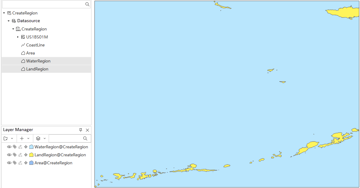
- View results:
- Add both differentiated water and land area datasets to the map to observe the effect of Generate Range with land-water distinction.
- Add both differentiated water and land area datasets to the map to observe the effect of Generate Range with land-water distinction.
Related Topics