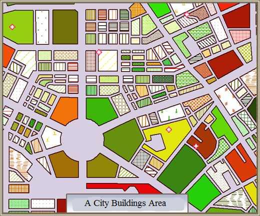
Custom Thematic Map creates thematic maps through the CustomProperty field, and sets the display style according to the Style Settings table corresponding to the value of the numerical field, which can express Data Information more freely.
The Custom Thematic Map supports the editing function. Custom Thematic Map can be made based on any point, line or surface Vector Layer. When making a Custom Thematic Map, first set the Vector Layer Settings to be Create Thematic Map as the current layer, that is, select the Vector Layer in the Layer Manager.
Custom Thematic Map is suitable for users who want to express complex situations with rich content and many attribute classification structures. The figure below shows the Night Light Brightness Map of the city. The average night light brightness of the county-level administrative region is counted into the county-level administrative points, and the Custom Thematic Map is made for the county-level administrative points. Marker Size represents the area of the administrative region, and the color represents the light brightness.
 |
| Figure: Custom Thematic Map expression--city night light map |
There are two ways to make Custom Thematic Map:
 Create a new Custom Thematic Map.


 Related topics