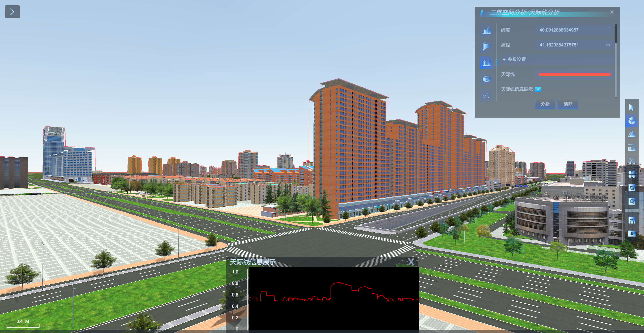
Skyline analysis
A skyline is a contour line formed by the intersection of terrain, vegetation, buildings, etc., seen from a specified observation point with the sky. Skyline analysis is based on observation points and related attributes, analysis to generate the skyline under the current perspective, based on the analysis results can also be constructed skyline height limit.
Skyline analysis can be widely used in urban planning, landscape design and so on.
Operating steps
- Click 3D Analysis -> Skyline Analysis to switch to the Skyline Analysis Settings panel.
- Adjust the angle of view of the scene to simulate people standing in the scene. Make sure that buildings, vegetation, etc. are above the horizon.
- Set the skyline display color as desired and click Analyze to start Skyline Analysis, which generates analysis results and displays observer information (longitude, latitude, altitude) in the panel.
- Check to enable skyline information display to display 2D skyline analysis results as needed
- The skyline analysis results are shown below.
- After the analysis is finished, click Clear to clear the analysis results in the scene.
 |
| Skyline Analysis Results |


