Manage and set layer-specific properties through the Layer Properties pane to optimize or adjust the loading and display of layers.
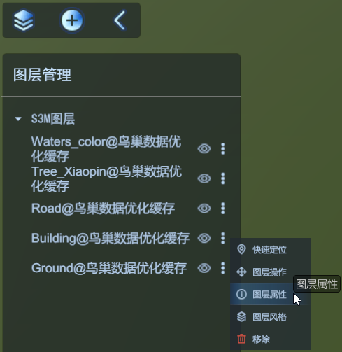
Left click the More button behind the specific layer, select Layer Propertiesfrom the pop-up menu, and the Layer Properties Panel pops up. You can set various properties, including the following:
 |
| Layer Properties Interface |
Load priority
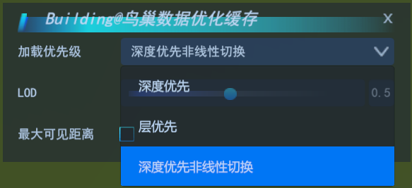
Used to set the loading priority of S3M tile data, including four modes: depth-first, layer-first, depth-first linear and spatial index.
 |
| load priority |
- Depth First: This mode preferentially loads all tiles of all pyramid levels within the current viewing angle range.
- Layer First: This mode preferentially loads all tiles of the current pyramid level
- Depth-first nonlinearity: This mode preferentially loads all tiles of all pyramids within the current viewing angle, but loads only coarser data farther away from the camera.
- Index priority: This mode can only support S3M data generated by tilt bin function of SuperMap iDesktopX11i (2023) for tilt photography 3D model, which can greatly improve loading efficiency of tilt photography 3D model.
LOD scaling
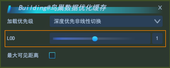
Used to set the scaling factor of switching distance between different layers of LOD of S3M tiles and terrain data. Default is 1.
 |
| LOD |
You can adjust the LOD zoom by adjusting the slider below. The value range is [0.01, 100], and the larger the value, the coarser the data displayed. However, 3D pipeline data is contrary to other data. The larger the value, the finer the pipeline data.
Maximum visible distance
Used to set the maximum visible distance between the current observer of the scene and the S3M tile data in the layer, in meters. If the distance between the current observation point and the data in the scene is greater than the set value, the data will not be visible.
 |
| maximum visible distance |
- Click the check box after the maximum visible distance to open the edit, and change the original value by directly typing the value or sliding left and right.


