tiles from raster and image
Feature Description
The tiles from raster and image function can generate tile data in OSGB or S3MB format based on specified DEM (Digital Elevation Model) and DOM (Digital Orthophoto Map) data.
Before using the tiles from raster and image function, you need to open a data source containing source data to activate it. Before generating tile data, you need to load raster datasets and image datasets separately to display terrain and imagery. However, after generating tile data, you can directly load terrain and imagery by loading a tile configuration file, which significantly improves data browsing performance.
Function Entry
- 3d data选项卡->oblique photograogy data组->data processing下拉菜单->tiles from raster and image
- Toolbox->3d data>-model edit->tiles from raster and image
Operation Steps
- In the Workspace Manager, right-click on "Data Source" and select "Open File Datasource" to open a data source containing original raster data and image data.
- In the 3D Data tab, under the Oblique Photograogy Data group, in the Data Processing drop-down menu, click the Tiles from Raster and Image button to pop up the tiles from raster and image dialog.
- In the dialog, at the "Raster Dataset Settings" section, set the data source and dataset. Use the drop-down to select the raster dataset for generating tile data, i.e., DEM data.
- In the dialog, at the "Image Dataset Settings" section, set the data source and dataset. Use the drop-down to select the image dataset for generating tile data, i.e., DOM data.
- Result Data Settings:
- Storage path: Set the save path for the result data. Click the button on the right to select the storage path, or directly enter it.
- Result file: Set the file name for the result data by typing directly in the text box.
- Advanced Settings:
- Start Level: Set the start level for the result tile data. You can use the default value.
- End Level: Set the end level for the result tile data. You can use the default value.
- scene type: Set the scene type for the result data, including planar and spherical. When the source data is in a planar coordinate system, the scene type can only be set to planar. When the source data is in a geographic coordinate system, the scene type can only be set to spherical. When the source data is in a projected coordinate system, the scene type can be set to planar or spherical.
- tile type:: Set the tile type for the result, including OSGB and S3MB, with S3MB as the default.
- DXT Compression: Selected by default. When selected, it performs DXT Texture Compression on the data, which is suitable for PC platforms.
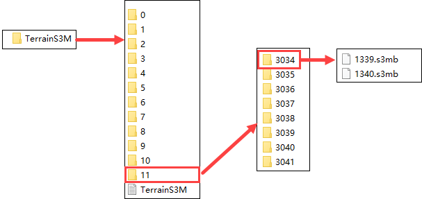
- After setting the above parameters, click the Run button to execute the tiles from raster and image operation. The image below shows S3M tile data generated based on a certain terrain data.