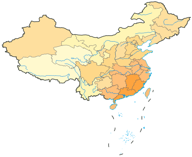
River Layer
River systems constitute crucial geographic features in maps. As the cartographic purpose of this map is to present thematic meteorological information, displaying major national rivers symbolized as base map elements beneath thematic layers conveys certain hydrological information.
Steps
-
In the Layer Manager, double-click the
 button of the MainWater_L layer node, or right-click the selected layer and choose "Layer Style" from the context menu to open the Styles window;
 - Adopt the system's default straight line style for rivers, set line color (RGB) to (0, 133, 232), and line width (unit: 0.1mm) to 4;
- After completing symbol style settings for rivers, reposition the MainWater_L layer in Layer Manager below the District_L layer and above the Provinces_R graduated color thematic map layer. The display in the map appears as: