


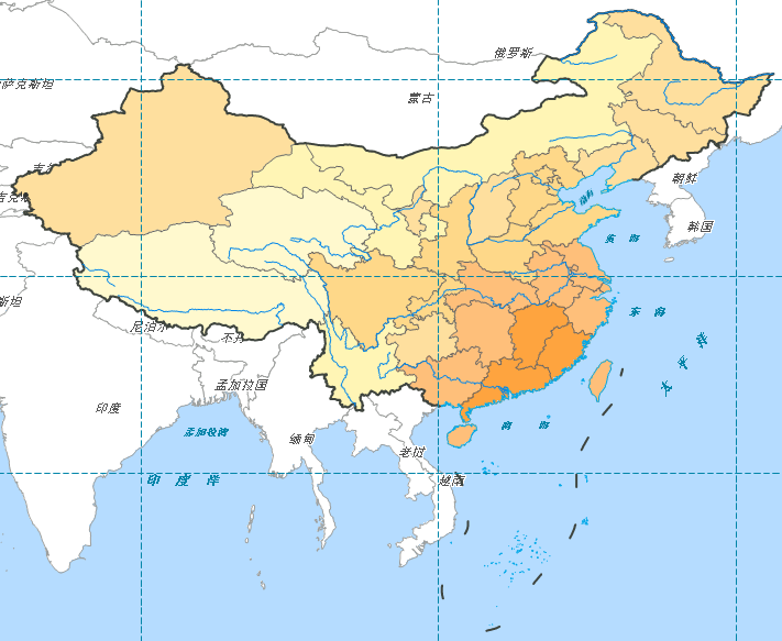
Graticule Layer
The MapDivision_L layer in layer manager represents graticule lines covering China's territorial extent. You need to style this line layer through layer settings.
Steps
-
In layer manager, double-click the
 button on MapDivision_L layer node, or select the layer and right-click to choose "Layer Style" from context menu to open "Styles" window;
 - Set graticule line style to short dashes, line color (RGB) to (2, 132, 168), and line width (unit: 0.1mm) to 1;
- In layer manager, place MapDivision_L on the topmost layer.
After completing these operations, all base map layer configurations are finished. The map will display as:
 |