


The China400 data source contains line datasets for national boundaries, provincial boundaries, and coastlines: District_L, which can be used to create unique value thematic maps for administrative boundaries. This guide demonstrates creating a unique value thematic map based on the ID field of District_L (where field value 10 represents national boundaries, 20 provincial boundaries, 30 coastlines, and 11 undefined national boundaries) to serve as essential basemaps that convey crucial administrative division and geographic information.
Steps
- Select the District_L layer in the Layer Manager;
- Choose "Unique Value Thematic Map" in the Thematic Map tab of the ribbon interface. The system will automatically create a default-styled unique value thematic map based on the District_L layer. The newly created thematic map will be added to the current map window as a top-layer thematic element, with corresponding node creation in the Layer Manager;
-
Configure parameters in the "Unique Value Thematic Map" dialog:
- Expression: Set the single value expression to ID in the combo box next to the "Expression:" label. Click "Refresh" to update both the thematic map and value list in real-time;
- Thematic Value Styles: Choose predefined color ramps from the color scheme dropdown list, or customize style settings through these operations:
(1) Line Type: Double-click style colors in thematic values or use the Line Style button to configure boundary styles in the "Styles" dialog. While topographic maps follow national standards for line patterns and widths, thematic maps prioritize content emphasis. For simplicity, set all boundary types to straight lines.
(2) Modify Label Content: Edit label descriptions in the thematic value list.
(3) Set Line Color and Width: Configure color and width parameters in the "Styles" dialog as follows:
Field Value (ID) Name Color (RGB) Width (0.1mm) 10 National Boundary (62,68,62) 6 11 Undefined National Boundary (49,52,49) 6 20 Provincial Boundary (102,102,102) 5 30 Coastline (0,168,232) 4
- After completing configurations, review display effects in the map:
- Right-click the District_L unique value thematic map layer in the Layer Manager and select "Output Thematic Map Template" to open the "Save As" dialog. Specify the save path to store the configured template as an *.xml file for future reuse.
Notes
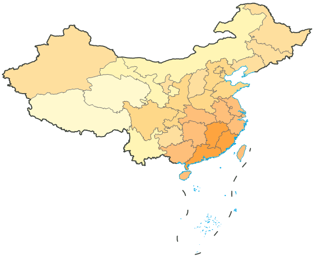
A pre-configured graduated color thematic map template (DistrictUnique.xml) is available in the installation directory\SampleData\China. Users can directly apply this template to the District_L layer to achieve the thematic map effect shown above.