


SuperMap iDesktopX supports viewing S-101 data through direct opening or importing.
Direct Opening
Opening compliant S-101 *.000 files directly will be in read-only mode without editing capabilities. Two operational methods:
- Drag *.000 files directly into workspace. In the Open: [Chart 000 file] dialog, set Standard Type to S-101 under Parameter Settings. The setting result displays before filename for verification. The default Standard Type is S-57. Incorrect settings will prevent proper data import.
- Or use Open File Datasource to select *.000 files, requiring same parameter settings in the Open: [Chart 000 file] dialog.
Import Nautical Chart Data
Import nautical chart data enables chart data editing, processing and production.
Supports importing S-101 compliant *.000 data into file datasource, database datasource (PostGIS/DMPlus) or EMS datasource. Note: Target datasource must be writable.
Operational steps:
- Open or create a datasource in workspace for storing *.000 files.
- Select target datasource, choose Import Nautical Chart Data->S-101 in context menu; Or select datasource, use Start Tab->Data Processing group->Data Import dropdown->Chart->Select S-101.
- In Import Nautical Chart Data dialog, select single/multiple S-101 *.000 files, click Open.
- Selected files display in Import S-101 dialog list with parameters:
- Source File: Displays chart data name (read-only).
- Source Data: Shows chart data path (read-only).
- Target Datasource: Shows target datasource name, allows selecting other datasources via dropdown.
- Project: Converts projection type to Mercator.
As chart data typically uses WGS84 (EPSG:4326), Mercator projection is recommended for navigation charts. Its rhumb lines appear straight, ideal for marine navigation.
Checkbox enables Mercator conversion. After projection, map units become meters for distance measurement.
- Encode Type: Specifies data compression to save space. Default is uncompressed. Options include single-byte to four-byte encoding. Details: Dataset compression encode type.
- Import Null Dataset: Includes empty datasets from source data when checked.
- For multiple files, use Select All, Select Reverse and Uniform Settings to batch configure parameters.
- After configuration, click Import to complete. Data displays as chart group under target datasource.
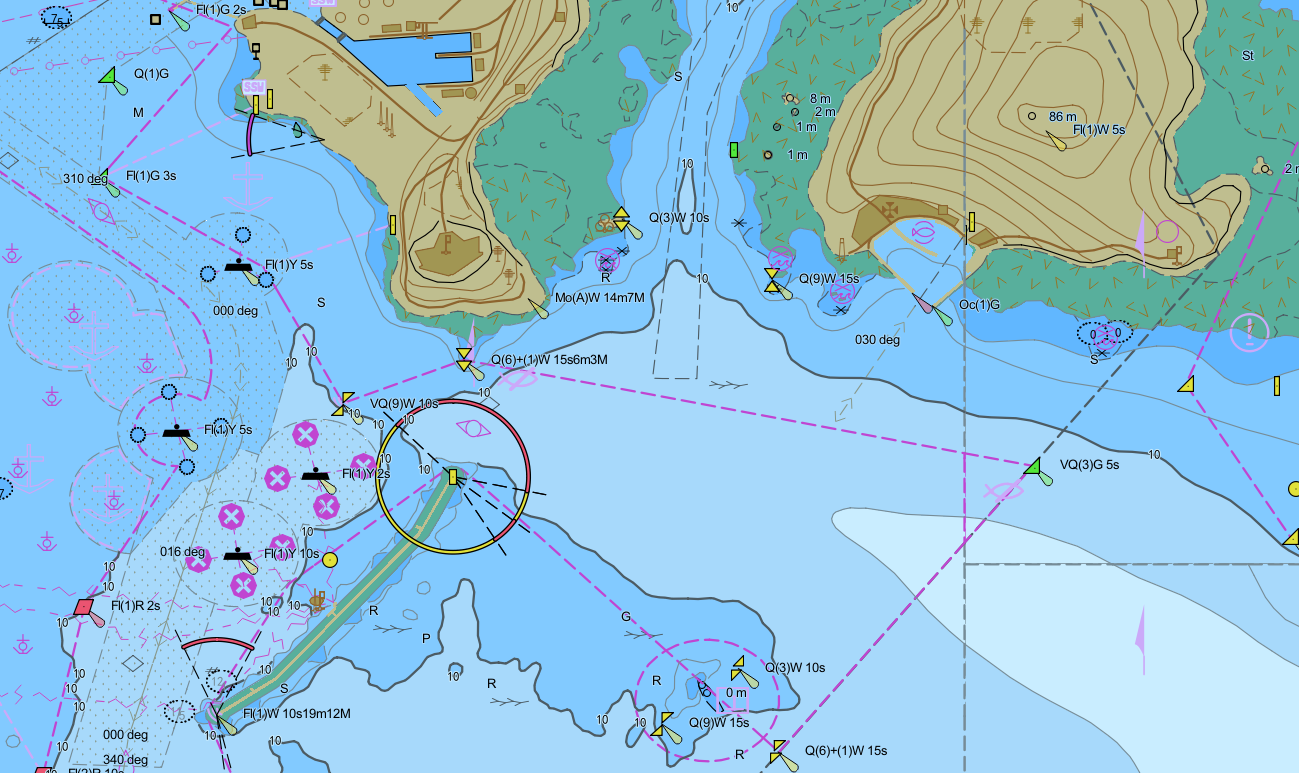
Browse Chart Data
After importing as chart group, select group(s) with Shift, then choose Add to New Map or Add to Current Map in context menu for electronic chart viewing.
Charts have scale-specific visibility settings (e.g., port charts for detailed navigation). Key information:
- Storage: DataCoverage dataset in chart group contains maximumDisplayScale and minimumDisplayScale fields (non-editable) controlling visibility ranges.
- Layer Properties: Added chart groups show Minimum Visible Scale and Maximum Visible Scale in Display Control section, inherited from DataCoverage.
 Note:
Note:If chart group isn't visible, check layer's visible scale range:
- Right-click layer, check visible scale in Layer Properties panel, then zoom accordingly.
- Modify visible scales in panel and save workspace. Changes won't affect original DataCoverage fields.
View *.001 Data
Per IHO specifications, initial chart files use *.000 extension, updates use *.001 to *.999 sequentially.
To view *.001-*.999 updates, place them in same directory as corresponding *.000 file with identical name.
When using Import Nautical Chart Data, select *.000 file. Application automatically merges updates from same directory.
Related Topics
View Feature Object Properties