


Cressman Objective Analysis
Feature Description
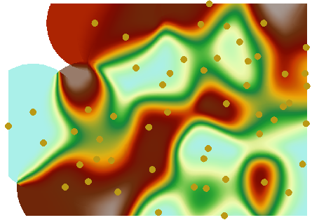
Cressman Objective Analysis Method is the most widely used interpolation technique in meteorological applications. It employs stepwise correction interpolation to minimize errors when converting discrete points to regular grid points.
The simulation results closely approximate real-world conditions, with smooth continuous imagery and high precision. This method has been extensively applied in diagnostic analyses and numerical weather prediction schemes within meteorological domain.
Parameter Description
| Parameter | Default Value | Parameter Description | Parameter Type |
|---|---|---|---|
| Source Dataset | Point dataset requiring interpolation analysis | DatasetVector | |
| Field | Field storing numerical values for each point (elevation, precipitation, etc.) used in interpolation. Text-type fields are not supported. | String | |
| Scaling Ratio | 1.0 | Scaling factor for interpolated field values. Multiply source data field values by this ratio before interpolation. For example, ratio=2 produces raster values approximately double those with ratio=1. Typically set to 1. | Double |
| Target Datasource | Datasource for storing result dataset | Datasource | |
| Result Dataset Name | Name of result dataset | String | |
| Resolution | 0.0 | Spatial resolution of interpolation results (ground area per pixel), unit matches dataset unit. | Double |
| Pixel Format | Storage format for raster pixels: 1-bit unsigned, 16-bit, 32-bit, single-precision float, double-precision float. Select appropriate format based on requirements. | PixelFormat | |
| No Value | 0.0 | Null value attribute for result dataset. | Double |
| Search Radius (Optional) |
0.0 | Radius for locating participating points in computation | Double |
| Convergence Value (Optional) |
0.1 | Iterative convergence threshold for Cressman interpolation (must >0). Smaller values indicate higher fitting accuracy, but may increase iterations and runtime. | Double |
| Max Iterations (Optional) |
10 | Maximum iterations for interpolation process, prevents excessive runtime with small convergence values. | Double |
| Geographic Range of Result Dataset (Optional) |
Specifies interpolation analysis extent. | String |
Output
| Parameter | Parameter Description | Parameter Type |
|---|---|---|
| Result Dataset | Raster dataset generated by interpolation analysis | DatasetGrid |