


Instructions for use
Detect change is the process of comparing multi-temporal images of the same area (typically collected at different times for a region) to determine the type, magnitude, and location of changes. It holds significant and widespread application value in natural resource fields such as land use, urban expansion, geological disaster monitoring, ecological environmental protection, and forest protection.
SuperMap iDesktopX provides the universal change detection function, which can serve various image change detection scenarios, identifying changed parcels and generating vector results of changed pixels for categories of interest. The universal change detection function can interpret images at a fine granularity, typically used to obtain changes in features with distinct characteristics such as buildings, roads, and water bodies.
Parameter description
- Source data and compare data: Select the images for universal change detection, supporting two types: dataset and image list.
-
- If file type selects Dataset, then sample image and compare image support input file-type image data (such as *.tif, *.img, etc.) and image dataset.
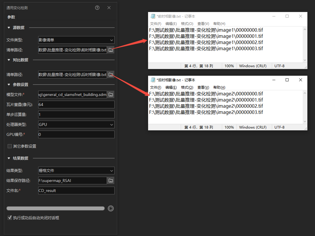
- If file type selects Image list, then it is necessary to input the image list path. The image list supports txt and csv formats. Each line in the list corresponds to an image file path, and each line in the sample image list corresponds one-to-one with each line in the compare image list.
 Note:
Note:- Only supports 8-bit unsigned format images.
- Supports three-band and multi-band images (images with four or more bands), and the image band order must be consistent with the sample image used during model training.
- The coordinate system and resolution of the input pair of source data and compare data must be consistent.
-
Model File: Select Model File (*.sdm).
-
Tile overlap (pixels): In the universal change detection process, due to the structural characteristics of convolutional neural networks, data at the edges of tiles may be insufficiently predicted. To improve prediction quality, tile overlap is necessary. This parameter is in pixels and can be set to one-eighth to one-quarter of the tile size. The larger the tile overlap in pixels, the longer the time required to infer the entire image. The tile size corresponding to the model is recorded in the tile_size parameter of the model file (*.sdm). For example, if the tile size is 1024, the tile overlap pixels can be set to 128-256.
-
Batch size for single step: Due to the large volume of remote sensing image data, under the limitations of computer performance, the model cannot read it all at once. Therefore, during inference, a block-by-block reading and processing method is adopted. The batch size for a single step refers to the number of slices inferred simultaneously. Appropriately increasing the batch size can improve interpretation efficiency, but it is limited by the video memory (for GPU inference) or memory (for CPU inference) of the inference device.
-
Processor type: Can use the computer's central processing unit (CPU) or graphics processing unit (GPU) to process data.
-
GPU ID: Specify the GPU ID for data processing. Default is 0. If "Processor type" selects CPU, this value is fixed at -1. If using GPU, you need to query the GPU ID through the "nvidia-smi" command in the system command line. The GPU ID is based on the query results. If there are multiple GPUs, you can specify the GPU identification number used for data processing. To use multiple GPUs, separate them with English commas ",", such as: "0,2,3", indicating the use of GPUs with IDs 0, 2, and 3.
-
Other parameters: Check other parameters, and you can input a region dataset with the same coordinate system as the source data and compare data to limit the inference scope.
-
Result Data: The change detection result can be output as a vector dataset or raster file.
-
If selecting Vector Dataset, you need to specify the data source for saving the vector dataset and the vector dataset name. If it is batch inference, the original image name will be appended with "_" to the vector dataset name to distinguish binary classification results for multiple images.
-
If selecting Raster File, you need to specify the folder path for saving the raster file and the raster file name. If it is batch inference, the original image name will be appended with "_" to the raster file name to distinguish binary classification results for multiple images.
-
Related Topics