


Faces Extract Centerlines
Feature Description
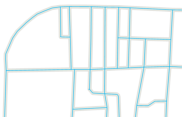
Faces Extract Centerlines refers to extracting the centerlines of all polygon objects in the dataset and saving the results as a line dataset. It is commonly used for extracting the centerlines of road surfaces.
In the attribute table of the resulting centerline dataset, the attributes of the source polygon data will be retained.
Parameter Description
| Parameter Name | Default Value | Parameter Interpretation | Parameter Type |
|---|---|---|---|
| Source Dataset | The polygon dataset and its data source from which to extract center lines. | DatasetVector | |
| Maximum Width (Required) | The maximum width value (greater than 0) between the boundary lines of the polygon objects for extracting center lines. When the distance between the boundary lines of a polygon object is greater than the maximum width, the boundary lines at that location are extracted. The unit is the same as the source dataset, and the maximum width should be greater than the minimum width. Users can measure the maximum width of polygon objects using the 'Distance' option in the 'Measurement' group under the 'Map' tab in the desktop. Setting the maximum width slightly larger than the actual measured distance can make the extraction results more accurate. | Double | |
| Minimum Width | 0.0 | The minimum width value (greater than or equal to 0) between the boundary lines of the polygon objects for extracting center lines. When the distance between the boundary lines of a polygon object is less than the minimum width, the center line at that location is not extracted. The default value is 0, the unit is the same as the source dataset, and the minimum width should be less than the maximum width. | Double |
| Target Datasource | The data source to store the analysis results dataset. | Datasource | |
| The Name of the Resulting Dataset | The specified name for the resulting dataset. | String |
Notes
- When the width of a polygon object is between the maximum and minimum width, its center line is extracted; when the width is less than the minimum width, no center line is extracted; when the width is greater than the maximum width, its boundary lines are extracted.
- The settings of the maximum and minimum width between the boundary lines of polygon objects will affect the accuracy of the result data. Users need to accurately input the maximum and minimum width values.
- For complex intersections in roads, such as overpasses, five-way or six-way intersections, the extraction results may not be ideal.
Output Result
| Parameter Name | Parameter Interpretation | Parameter Type |
|---|---|---|
| Result Dataset | Result dataset | DatasetVector |
In the attribute table of the result dataset, the attributes of the source polygon objects will be retained.