In the 3D scene, support 2D data for area measurement, SQL attribute query, spatial query, data analysis and other operations.
Plane Measurement
The 3D scene supports 2D/3D data measurement and supports more accurate 2D data calculation for multiple purposes. The measurement includes three types: plane distance calculation, plane area measurement, and height measurement.
- Distance Calculation: Calculate the plane distance between any two or more points in the plane model. When the terrain is not loaded, the distance calculated by the distance calculation tool is the arc distance on the sphere, the distance unit is meter; when the terrain is loaded, the result of the distance calculation is the length of the broken line of the terrain, the distance unit is meters.
- Area Calculation: The area measurement includes two types: calculation of plane area and calculation of area according to the area. The area calculated by the plane area refers to the calculated area of a number of triangular planes formed by points. Area calculation refers to the calculation of the area of the area according to the relief of the terrain, the unit is square meters.
- Height Calculation: It refers to the calculation of the elevation distance between two points. This function is convenient for the user to measure the height of a floor or a mountain in a 3D scene.
SQL Property Query
The query and analysis of spatial data is at the core of GIS engineering projects. When using GIS data, we often need to query some existing data to meet certain conditions. In the SuperMap 3D GIS, the SQL attribute query function is provided, and the query can be performed by inputting the attribute query condition. The results of the query are displayed in the Properties window and can be positioned by attributes to the corresponding objects in the 3D scene. An SQL query refers to a query whose conditions are related only to the attributes of a spatial feature but not to the geographical position of the feature.
Spatial Query
Spatial query is a query way to build filter conditions by spatial position relationship between geometric objects. Relative to attribute-based queries that are built entirely from attribute filter conditions, spatial queries based on spatial position relationships and that can apply attribute filter conditions at the same time are called spatial queries.
Supports 9 types of basic operators and custom operators for 2D spatial query. The query results are displayed in the property window and can be used to locate the corresponding objects in the 3D scene. The spatial query involves three elements: the searched object, the searched layer, and the set of result record.
Data Analysis
The 3D scene inherits the powerful analysis functions from 2D scene, including buffer analysis, best path analysis, and facility analysis.
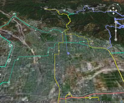 |
| Figure 1: Logistics Distribution Diagram |